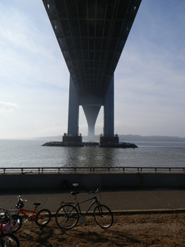
The first sample site is the Brooklyn shore of the Verrazano Narrows. "Eldridge Tide and Pilot book" uses this location to document the start of the flood and ebb. As such we will be looking to mark the time difference between the change at this site and all others.
The purpose of this project is to document the timing of the changing current along the Brooklyn shore and into the East River. I have chosen two dates, a primary one and a backup. The dates are:
Click here to download the Observation Guide